The gem of the Big Sur Coast, home of the Confederate Yankee (for all you folks who remember the 60s through the Purple Haze) is Pfeiffer Beach. This is federal rather than state property being a part of The Los Padres National Forest. It is located just south of the village of Big Sur off Route 1. The turn is, oddly enough, NOT marked as though someone does not want you to know it is there.
The mostly single lane road, with occasional wide spots so folks can get past one another, winds through a stream valley down to this glorious beach. It is a day use facility with a charge of $5. In the rainy season the stream crosses the beach in a shallow and wide flow. The beach itself is by my guestimate about a mile or so wide. Just off the beach loom tall volcanic formations that taper down to the north giving unobstructed access to the Pacific at that point.
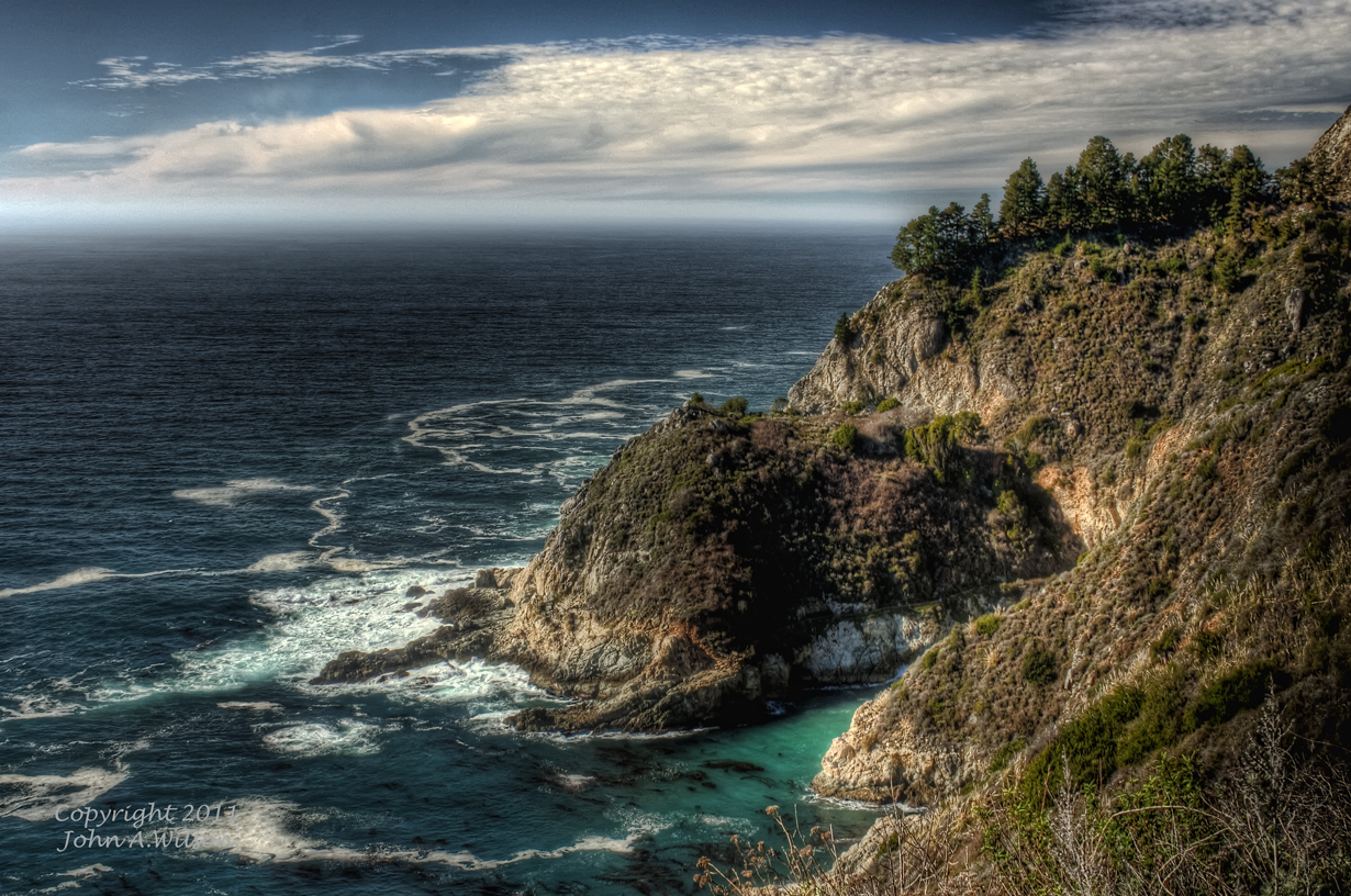
I have made several trips into the area to try to photograph the place in late afternoon sun and to try to catch a sunset. It should be noted that Big Sur is prone to fog, often very dense fog. I was fortunate on my last trip, yesterday, to finally get a clear afternoon with the huge plus of marvelous cumulus cloud formations remaining from our most recent rain. Here are a few of the many images I shot yesterday.
Do try to visit this magical location. Don't be put off by its remoteness or the difficulty in finding it. Ask directions if need be, or better yet, print out a Google Map before leaving home
Welcome to my Church.
(Click on Image for Full Size Picture)
-Edit+copy.jpg)
-Edit+copy.jpg)
-Edit+copy.jpg)
-Edit+copy.jpg)
-Edit+copy.jpg)
-Edit+copy.jpg)


-Edit+copy.jpg)
-Edit+copy.jpg)
-Edit+copy.jpg)
-Edit+copy.jpg)
-Edit+copy.jpg)
-Edit+copy.jpg)


-Edit.jpg)
-Edit.jpg)
-Edit+copy.jpg)
-Edit+copy.jpg)